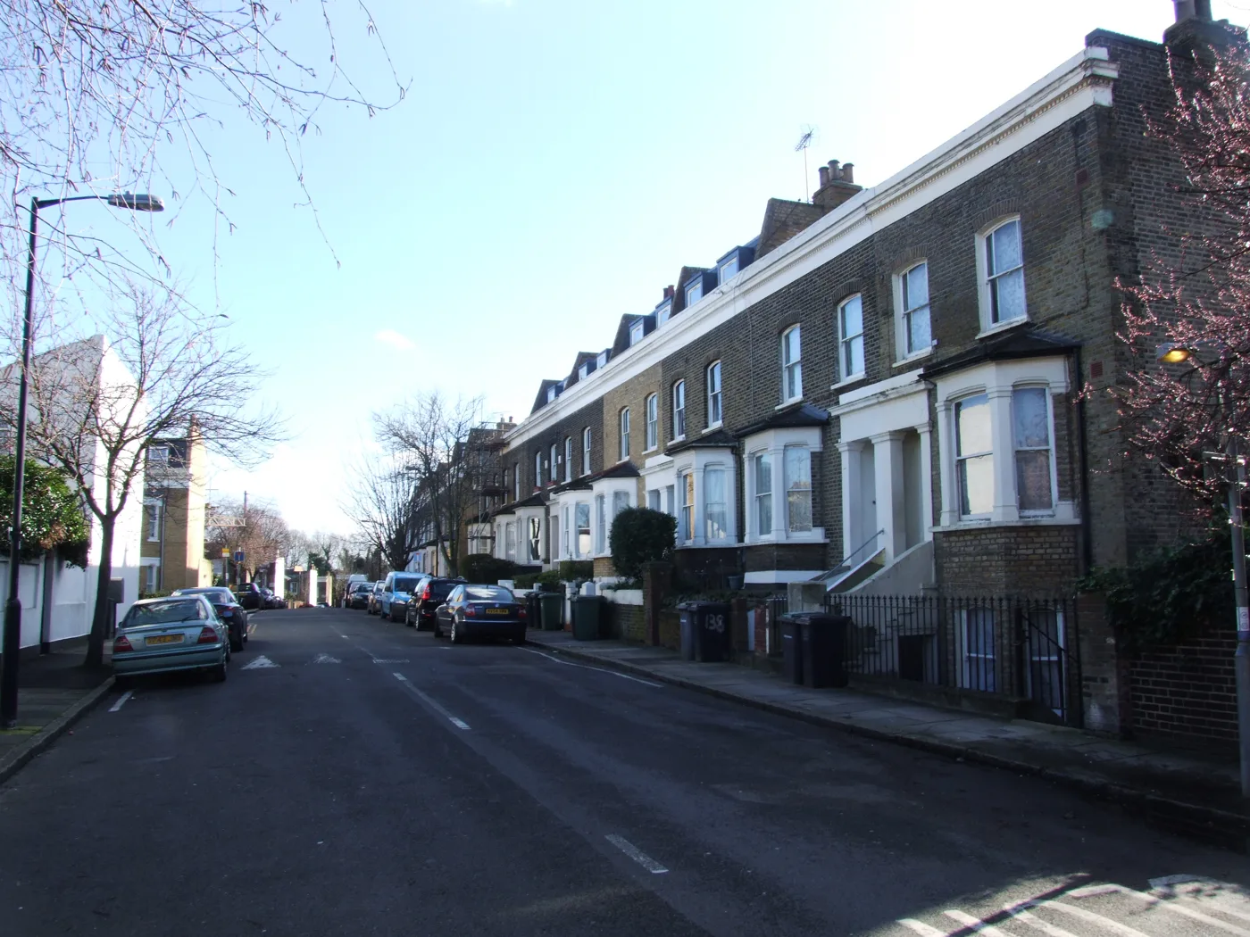

Five modal filters, three School Streets and new crossings are proposed for St Johns and Tanner's Hill. See every road, then have your say by 18 November.
Lewisham Council has published its plans for the borough’s first Healthy Neighbourhood, covering St Johns and Tanner’s Hill. They include five modal filters that would stop drivers cutting through residential streets, three new School Streets, new and improved crossings and speed humps on three roads.
The plans are now out for comment. The council announced the consultation on 2 November and is holding one public drop-in, on Wednesday 18 November, 3pm to 7pm, at That Place in the Park on Lucas Street, inside Friendly Gardens.
The five modal filters
A modal filter lets people walk and cycle through but stops private cars. Each of these would let emergency vehicles through, according to the council’s proposals page. The proposed filters are:
- Filter 1, Heald Street and Florence Road: no motor vehicles through the junction between the two roads. One parking bay would go and a rain garden would be planted.
- Filter 2, Heald Street, Tanner’s Hill and Albyn Road: a diagonal filter splitting the junction in two. Heald Street would stay linked to Tanner’s Hill towards Deptford Broadway. Albyn Road would stay linked to Tanner’s Hill towards Upper Brockley Road. Drivers could not cross between the pairs.
- Filter 3, Albyn Road and Friendly Street: the northern part of Friendly Street, towards Brookmill Road, would stay linked to the eastern part of Albyn Road, towards St John’s Vale. Drivers could not carry straight on along either road.
- Filter 4, St John’s Vale between Albyn Road and Cliff Terrace: no through route in either direction. The plan shows drop-down bollards for emergency vehicles.
- Filter 5, Vanguard Street and Harton Street: no motor vehicles through the junction.
The plans for filters 1, 3 and 4 show some parking being removed and new double yellow lines. Drawings for all five are in the project’s document library.
School Streets, crossings and speed humps
A School Street closes to motor traffic at drop-off and pick-up times in term time. The council’s page on the other measures proposes three:
- Admiral Street
- Strickland Street
- Albyn Road, between Friendly Street and St John’s Vale
It also suggests crossing changes on main roads. These are run by Transport for London, so the council says they depend on further talks with TfL:
| Road | What is proposed |
|---|---|
| Amersham Road | New raised parallel or zebra crossing between Parkfield Road and Lewisham Way |
| New Cross Road | Better cycle crossing linking Alpha Road and Mornington Road |
| Deptford Broadway | Better pedestrian crossing linking Harton Street and Deptford Church Street |
| Deptford Broadway | Better cycle crossing just east of the pedestrian crossing |
| Brookmill Road | New raised parallel or zebra crossing between St John’s Vale and Lind Street |
Speed humps or speed cushions are proposed on:
- Amersham Road, between New Cross Road and Parkfield Road and near Lewisham Way (subject to TfL)
- Florence Road, between Heald Street and Alpha Road, and between Alpha Road and Lewisham Way
- Brookmill Road, between Seager Place and Friendly Street, and between Elverson Road and Albyn Road
Why the council is doing this
The council says around 68% of journeys in Lewisham are already made on foot, by bike or by public transport. It wants that to reach 81% by 2041.
St Johns and Tanner’s Hill is the first of the areas it has prioritised. It ran walkabouts, guided bike rides and a survey in winter 2024 and spring 2025, according to the project timeline. Four more areas are at early feasibility stage, the council’s release says:
- New Cross, by Lewisham Road and Brookmill Road
- Telegraph Hill, by Drakefell Road, Gellatley Road and Malpas Road
- Creekside, through to Deptford Church Street
- Kender Street and its side streets
The scheme is paid for by Transport for London through the council’s Local Implementation Plan, the council’s Healthy Neighbourhoods page says. The project FAQs say the council is aiming to deliver this round by March 2027.
Cllr Corin Ashwell, the cabinet member for transport, said the plans “must be shaped by local people”. He said the council wanted to hear from those “who depend on a car because of disability, caring responsibilities or work”.
What it means for you
- If you live in the area: look at the drawing for any filter near you. They show which way you could still drive in and out, and where parking bays would go.
- If you drive through: Heald Street, Albyn Road, Friendly Street, St John’s Vale and the Vanguard Street and Harton Street junction would no longer work as through routes.
- If your child goes to school on Admiral Street, Strickland Street or that stretch of Albyn Road: a School Street would close the road to cars at the start and end of the school day.
- To have your say: fill in the feedback form on the consultation site, or go to the drop-in on 18 November. The council’s pages give no closing date in words, but the online form is set to close at the end of 18 November, so respond by then. You can also email Consultation@lewisham.gov.uk or call 020 8314 3130.
After the consultation, the council says it will publish a report on what people said. It will use the feedback for the final design, which then needs approval.
For other changes on the roads this week, see our Lewisham roadworks page and our guide to parking in Lewisham.
Have your say